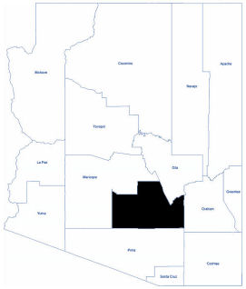
Pinal
Pinal County is located in the central part of Arizona. As of 2020, its population was 425,264. The name Pinal comes from the Pinal Apaches, and means, "pine groves in the mountains". Pinal County contains parts of the The name Pinal comes from the Pinal Apaches, and means, "pine groves in the mountains". Pinal County contains parts of the Tohono O'odham Nation, the Gila River Indian Community and the San Carlos Apache Indian Reservation, as well as the entirety of the Ak-Chin Indian Community.
The Gila River forms part of the county’s boundaries. Pinal County has a semi-arid climate with agricultural land around Florence and mountains where many rich mining discoveries have been made. Pinal County has an average temperature of 71 degrees Fahrenheit. The average elevation is 1,812 feet.
Total Area: 5,374.09 square mile
Land Area: 5,369.59 square miles
Water Area: 4.50 square miles