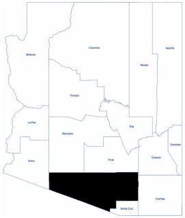
Pima
Pima County is in the south central region of Arizona. The population was 1,043,433 at the 2020 census. Pima County contains parts of the Tohono O'odham Nation and all of the San Xavier Indian Reservation.
The landscape is varied and includes flowering desert, rolling hills, winding dry riverbeds, rugged canyons, and pine-topped peaks. Most of Pima County lies in the Sonoran Desert; however, along the Santa Cruz River, there is fertile farmland.
Pima County lies at an ecological crossroad where habitats and species from the neo-tropics meet the Rocky Mountains and the Sonoran Desert. Two rainy seasons contribute to the beauty of numerous adapted desert plants.
The climate is mild with an annual average high temperature of 85 degrees Fahrenheit and an annual average low temperature of 53 degrees Fahrenheit.
Total Area: 9,188.83 square miles
Land Area: 9,186.27 square miles
Water Area: 2.57 square miles