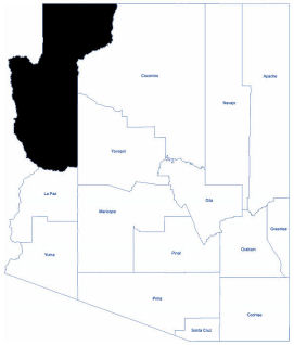
Mohave
Mohave County is located in the northwestern corner of Arizona. As of the 2020 census, its population was 213,267. While the county’s largest single city is Lake Havasu City, the area with highest population is the Bullhead City/Fort Mohave/Mohave Valley area.
Mohave County contains parts of Grand Canyon National Park, Lake Mead National Recreation Area, and all of the Grand Canyon-Parashant National Monument. The Kaibab, Fort Mojave, and Hualapai Indian Reservations also lie within the county.
The Colorado River forms most of the county's western boundary. The river also runs east to west through Mohave County, dividing it between two of Arizona's geographic regions, the Arizona Strip in the north and the Mojave Desert in the south.
The climate in the county varies depending on which area, but for the most part, the climate is warm and sunny. The desert areas remain hot in the summer and warmer in the winter. Year-round temperatures remain above freezing for most of the county. The northern portions experience cooler temperatures and some areas have snowfall during the winter.
The Colorado River and two man‐made lakes, Lake Mohave and Lake Havasu, offer 1,000 miles of shoreline for water recreational activities. Lake Mead, formed by water impounded by the Hoover Dam, is the largest artificial lake in the United States.
Total area: 13,479 square miles
Land area: 13,312 square miles
Water area: 158 square miles