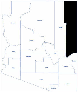
Apache
Apache County is located in the northeast corner and eastern Arizona. As of the 2020 census, its population was 66,021. The main population centers are Window Rock and Fort Defiance in the south, Ganado in the center, and Chinle in the north, with many small towns in between.
Apache County has the most land designated as Indian reservation of any county in the United States. The Navajo Nation, the largest Native American tribe, comprises two-thirds of the population and one-half of the land area. The county also contains the Fort Apache Indian Reservation.
Apache County is the longest county in the country, 211 miles from the Utah border to just south of Alpine. It is a county of contrasts, starting from the blue spruce-covered mountains near Alpine to the Greer Valley with the clear, cold waters of the Little Colorado River flowing northward to St. Johns. The Navajo Nation begins near Sanders, and has piñon-covered mesas, red sandstone cliffs, huge open valleys, and hidden canyons.
Total Area: 11,218.42 square miles
Land Area: 11,204.88 square miles
Water Area: 13.54 square miles